by Cornelia Waldmann-Selsam et al. Original study here.
Waldmann: Materials and methods
The official information of 65 mobile phone sites in the neighboring cities Bamberg and Hallstadt was extracted from the EMF database of the German Federal Network Agency in March 2011 and October 2015. Each site certificate provides information on the mounting height of antennas, the number and main beam direction of the sector antennas, the number of omni-directional antennas, the number of other transmitters, as well as the horizontal and vertical safety distances. The current specifications of the transmission facilities are available at: http://emB.bundesnetzagentur.de/karte/Default.aspx
On most of the 65 mobile phone sites several sector antennas emitting Radiofrequency Electromagnetic Fields (RF/EMF) with differences in frequency, modulation and other physical characteristics are installed (GSM 900, GSM 1800, UMTS, LTE (4th generation), TETRA). In 2011 there was a total of 483 sector antennas, in 2015 a total of 779 sector antennas. Numerical code, address and UTM 32N coordinates for the 65 Mobile phone (base stations) sites in Bamberg and Hallstadt are shown in Table 1.
Between 2006 and 2015 there was observation and documentation of tree damages. There were some preliminary measurements on both sides of unilaterally damaged trees and approximately 700 trees in Bamberg and Hallstadt were visited. The condition of numerous trees has been documented in photographs. The photographs record the state of trees showing damage patterns not attributable to diseases, pests, drought or other environmental factors in order to monitor damage and growth over several years (in 2006, Olympus FE-100 was used; since 2007, Panasonic DMC-FZ50 was used). In 2015 we selected a polygonal study site, with an approximate area of 30 km², which includes partial municipalities of Bamberg and HallStadt (70 km²).
The study area with the location of the phone masts in the layer of natural areas and municipalities is shown in Figure One. In this area, different measurements were done both for having a radiation map and for knowing which are the incident power densities beside different trees. In spite of the fact that measurements are changing continuously, they do not show significant differences between times. In this polygon, we performed 144 measurements of the radiofrequency electromagnetic fields at a height of 1.5 m at different points in the city. These measurements were taken in streets and parks and allowed the preparation of an electromagnetic map of Bamberg and Hallstadt with their interpolation.
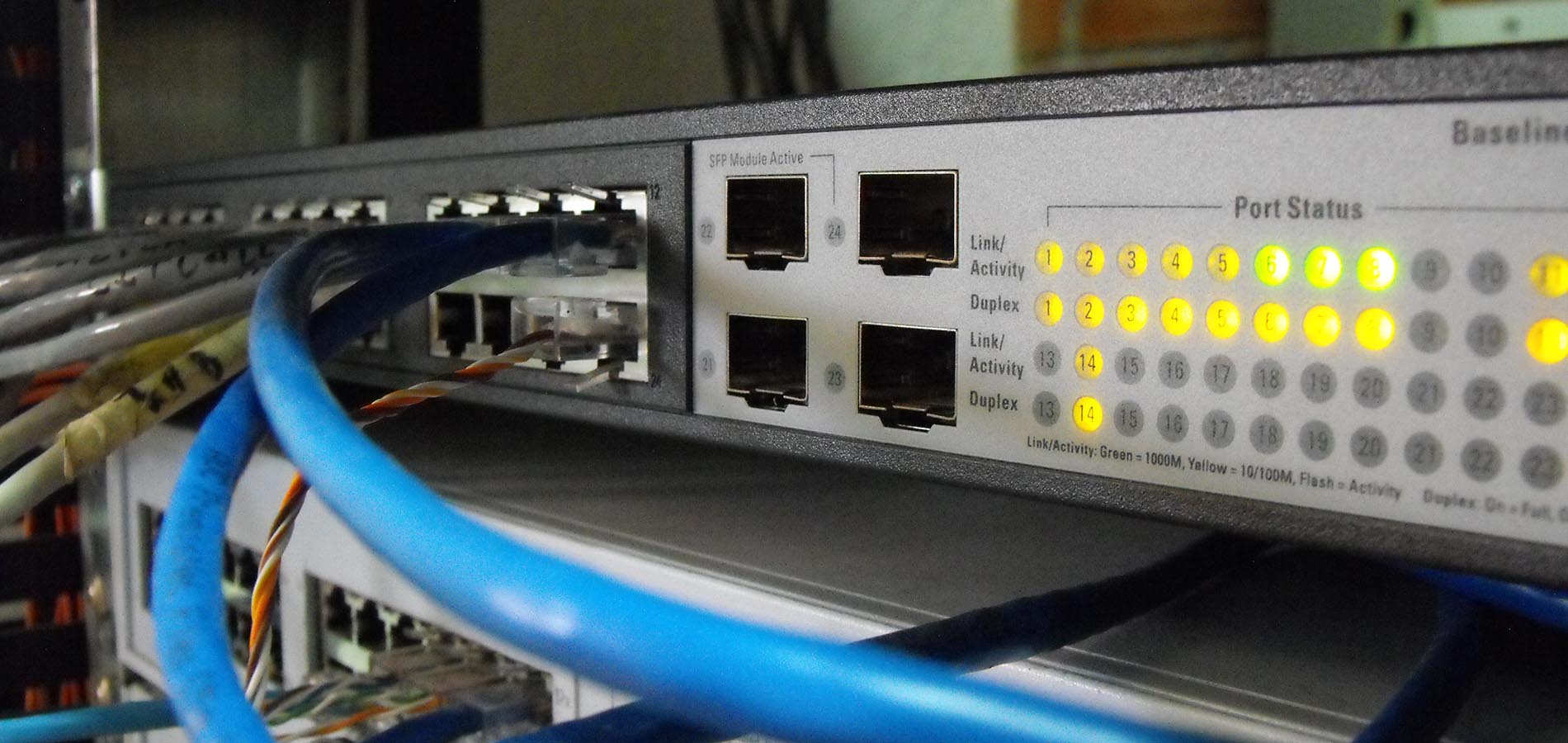
The measurements were carried out with an RF/EMF-broadband analyzer, Gigahertz Solutions HF-59B (27-3300 MHz) and the horizontal-isotrope broadband antenna UBB27_G3 Measurements of the peak values of power flux density were in µW/m² [a rate of exposure expressed as millionths of a watt spread over a square meter], which can be converted to V/m [Volts/meter]. In general, a sector antenna covers an angle of 120 degrees and the radiation of the sector antennas is distributed in main and secondary beams, bundled vertically and horizontally. The high-frequency emissions are reflected/diffracted and/or absorbed by buildings and trees.
Waldmann: Results
The results of [peak — not average — ] radiation measurements obtained at 144 points in Bamberg and Hallstadt at a height of 1.5 m were between 6 µW/m² (0.047 V/m) and 17,060 µW/m² (2.53 V/m). The measured values are far below the current limits (41 V/m for GSM system and 61 V/m for UMTS; ICNIRP, 1998).
S4WT Comment: Translating this to the US FCC Maximum Public Exposure Guidelines for RF microwave radiation exposures . . .
| Description | 900 MHz | >1,500 MHz |
|---|---|---|
| FCC RF Microwave Radiation Maximum Public Exposure Guideline | 6,000,000 µW/m² | 10,000,000 µW/m² |
| Low Reading 27-3300 MHz Peak | 6 µW/m² | 6 µW/m² |
| Low Reading 27-3300 MHz Average | 0.06 µW/m² | 0.06 µW/m² |
| Low Reading 27-3300 MHz Average as % of FCC Guideline | 0.000001% | 0.0000006% |
| High Reading 27-3300 MHz Peak | 17,060 µW/m² | 17,060 µW/m² |
| High Reading 27-3300 MHz Average | 170.6 µW/m² | 170.6 µW/m² |
| High Reading 27-3300 MHz Average as % of FCC Guideline | 0.0028% | 0.0017% |
The locations of these points in the study area are shown in Fig. 2. By interpolation of the 144 measurements points (Table 3), we prepared a map of the power flux density in Bamberg and Hallstadt (Fig. 3). This map is theoretical and approximate, since many factors affect the true electromagnetic radiation values. However, the map is useful to provide approximate differences in exposure throughout the city.
The 60 selected trees showing damage patterns not attributable to diseases, pests or other environmental factors are presented in Table 4. In this Table, we added the tree code number, the scientific name, the UTM coordinates, the power flux density measurements on both sides of each tree, and the distances (meters) and code numbers to the three nearest antennas for each tree, which may be mainly responsible for the electromagnetic radiation measured.
We also included the orientation of the tree damage and the number of main (nearest) phone mast(s) in direct line of sight, whose lobe of radiation most directly affected each tree. Finally, we included the codes of damage observed in the 60 trees. From all 60 selected trees, one or more phone mast(s) could be seen, with no obstacles between the phone mast and damaged tree. In many cases, one of the three closest antennas caused the main radiation on the tree surface.
S4WT Comment:
- RF microwave radiation exposure over time — not the rate of exposure — is what really matters.
- FCC RF Microwave Radiation exposure guidelines are commercial — not safety — guidelines and are not protective.
- Proximity and duration of RF microwave radiation is more important than intensity.
Waldmann: Conclusions
In this study we found a high-level damage in trees within the vicinity of phone masts [cellphone towers]. Preliminary laboratory studies have indicated some deleterious effects of radiofrequency [microwave] radiation. However, these early warnings have had no success and deployment has been continued without consideration of environmental impact.
We observed trees with unilateral damage in the radiation field of phone masts. We excluded the possibility that root injury due to construction work or air pollutants could have caused the unilateral damage. We found out that from the damaged side there was always visual contact to one or more phone mast(s). Statistical analyses demonstrated that the electromagnetic radiation from cellphone towers is harmful to trees. Results show that the measurements in the most affected sides of damaged trees (i.e. those that withstand higher radiation levels) are different to all other groups. These results are consistent with the fact that damage inflicted on trees by cellphone towers usually start on one side, extending to the whole tree over time. The occurrence of unilateral damage is the most important fact in our study and an important argument for a causal relationship with RF-EMF, as it supplies evidence for non-thermal RF-EMF effects. This constitutes a danger for trees worldwide. The further deployment of phone masts has to be stopped. Scientific research on trees under the real radiofrequency field conditions must continue.